About this campaign
Looks like your text is -173 character over the limit. Please shorten it to 200 characters or less.
Looks like your text is -173 character over the limit. Please shorten it to 200 characters or less.
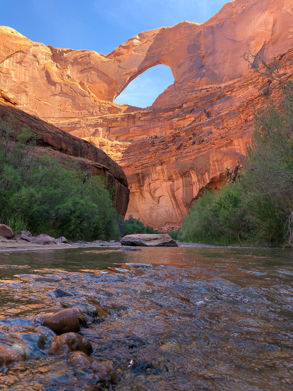
The Escalante River is a unique ribbon of green cutting through the vast desert landscape of Grand Staircase-Escalante National Monument. The river is formed at the confluence of the Upper Valley and Birch Creeks near Escalante, and flows 90 miles southeast before draining into Lake Powell. The river's watershed includes the high forested slopes of the Aquarius Plateau, the east side of the Kaiparowits Plateau, and the high desert to the north of Lake Powell.
The river is vital source of water for both natural communities and the residents of the towns of Boulder and Escalante. In 2010, Grand Staircase Escalante Partners joined a multi-jurisdictional effort to restore the Escalante Watershed and is a key partner in the Escalante River Watershed Partnership (ERWP). Our organization carries out restoration work in the watershed, removing invasive species to allow native vegetation and a healthy riparian environment to thrive.
The Escalante River cuts through some of the the most spectacular red rock scenery and canyon country of the Colorado Plateau. The river creates an oasis for plants and wildlife and sustain the incredible biodiversity in Grand Staircase-Escalante National Monument. The river is a popular destination for floating, hiking, and backpacking. Help support our conservation efforts in the watershed by purchasing a shirt!
Looks like your text is -8643 character over the limit. Please shorten it to 10000 characters or less.